


About us
With 20 years of experience, our expertise spans the AI lifecycle - from data engineering and AI agent development to cloud integrations and human-centric product design.
Learn moreEvolve from Digital-Native to AI-Native
We are shaping the future of next-generation applications by seamlessly integrating advanced data engineering and AI solutions with high-quality UX and robust security.
Featured Pillars
AI Insights
Industries
Qubika partners with leading organizations across industries, delivering technology solutions that drive transformation and measurable results. Our expertise empowers clients to achieve business goals through tailored digital strategies.
Our Industries
Banking
Modernize banking systems for a secure, compliant, AI-ready enterprise ecosystem.
Financial Services
Secure, data and AI-driven financial services - from paytech and financial infrastructure to risk, compliance and analytics.
Health & Wellbeing
People-centric healthcare solutions, from virtual care to integrations and smart devices.
Insurance
AI-powered insurance solutions - from accelerating policy lifecycle management to accelerating claims processing.
Media & Entertainment
AI-native solutions to deliver personalized, real-time, and immersive experiences at scale.
Hi-Tech & Semiconductors
Semiconductor design, firmware, and IoT development, AI-powered embedded systems.
Industry Insights
Insights
Dive into our expert insights on the latest in technology and business developments.
Learn moreHighlighted Posts
Latest Posts

About us
With 20 years of experience, our expertise spans the AI lifecycle - from data engineering and AI agent development to cloud integrations and human-centric product design.
Learn more
Careers
Are you interested in shaping the AI-future? Then discover how you can join one of the fastest growing companies in the industry.
Learn more
Locations
Qubika's locations are centers of high-quality innovation. Explore our global network and get in touch with our experts.
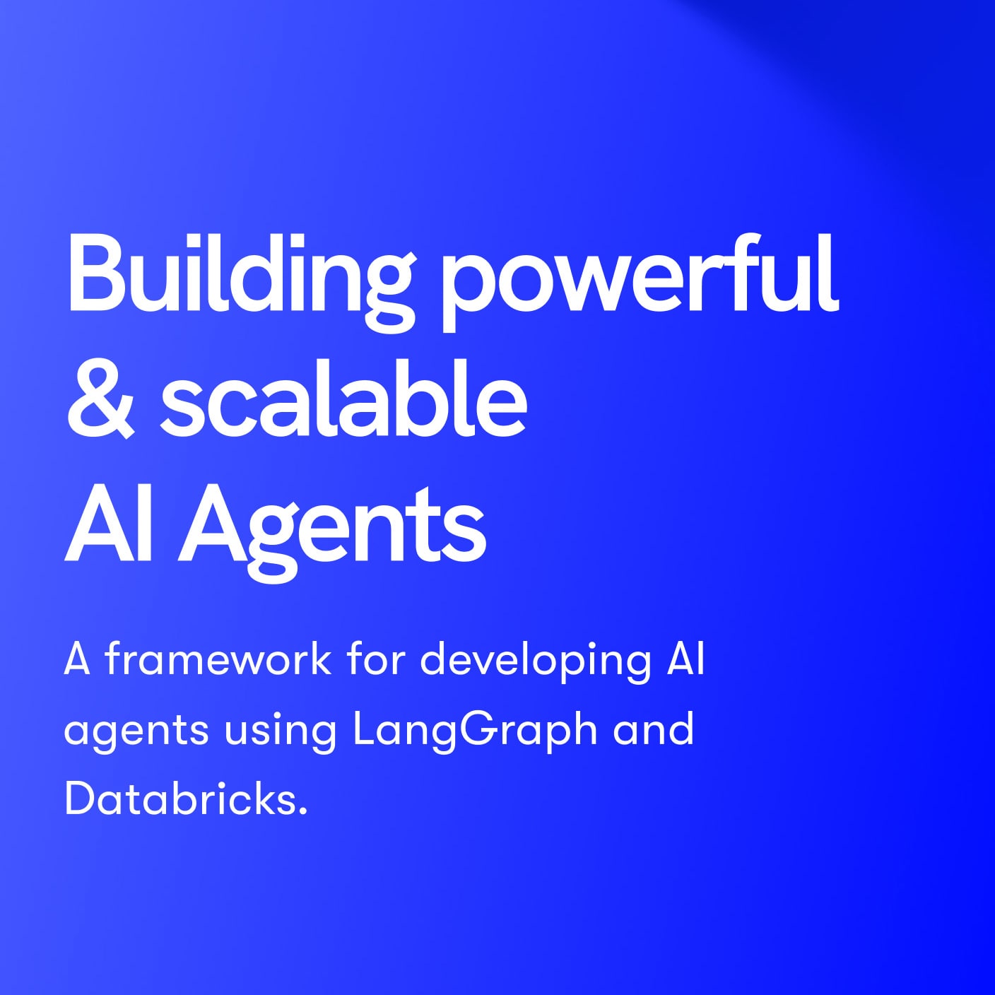
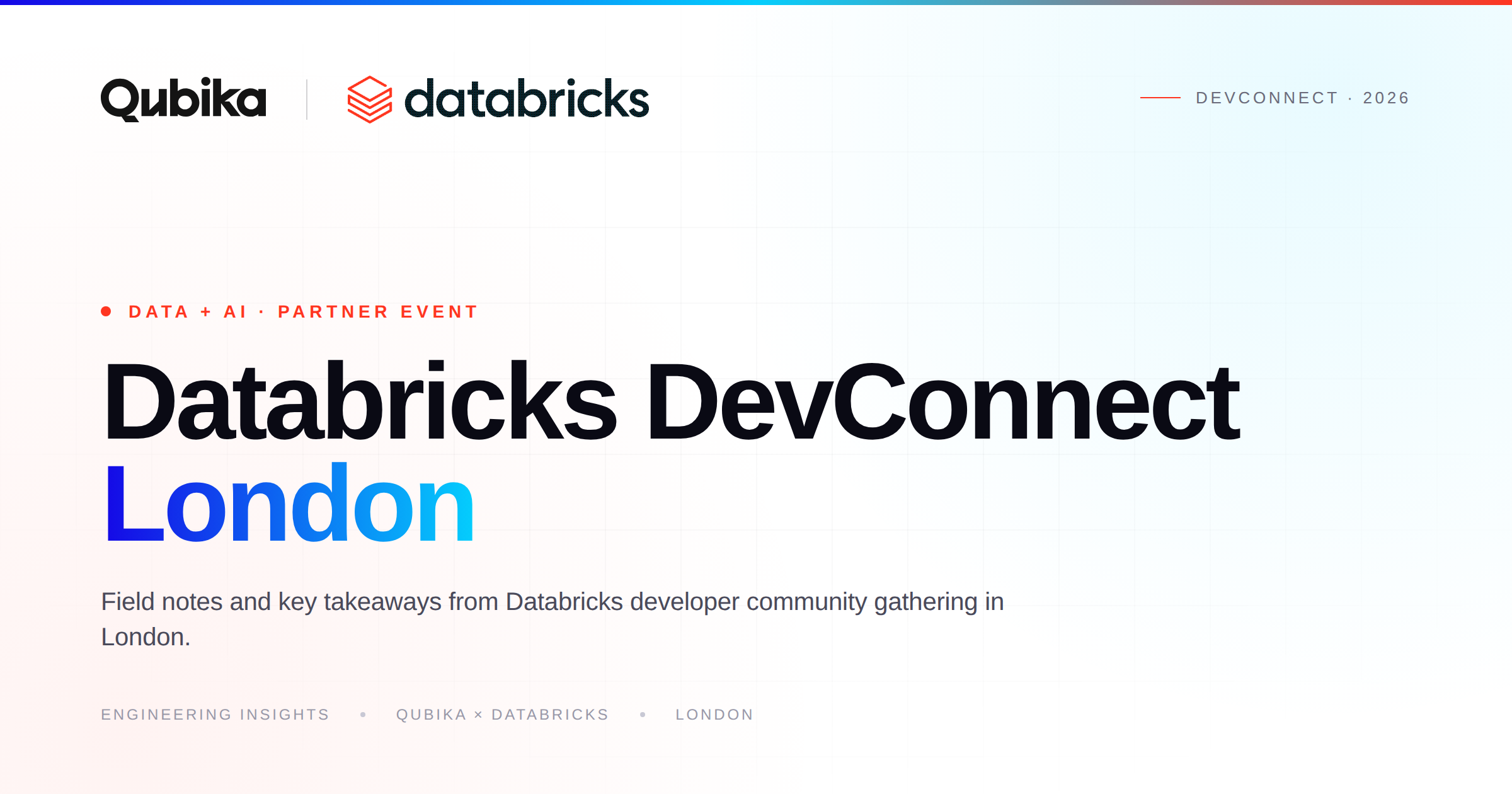
Learn moreDatabricks Solutions
We've empowered numerous industry leaders to harness the full potential of Databricks' Intelligence platform, driving transformative results and measurable business impact.
Highlights of our partnership
Gold Tier Partner
Qubika is a Gold Tier Databricks partner, delivering scalable, secure data and AI solutions on Databricks.
200+ certified Databricks engineers
Qubika has 200+ certified engineers on the Databricks Intelligence Platform
20+ years of data experience
Qubika has been providing end-to-end data services for over 20 years.
Databricks Insights
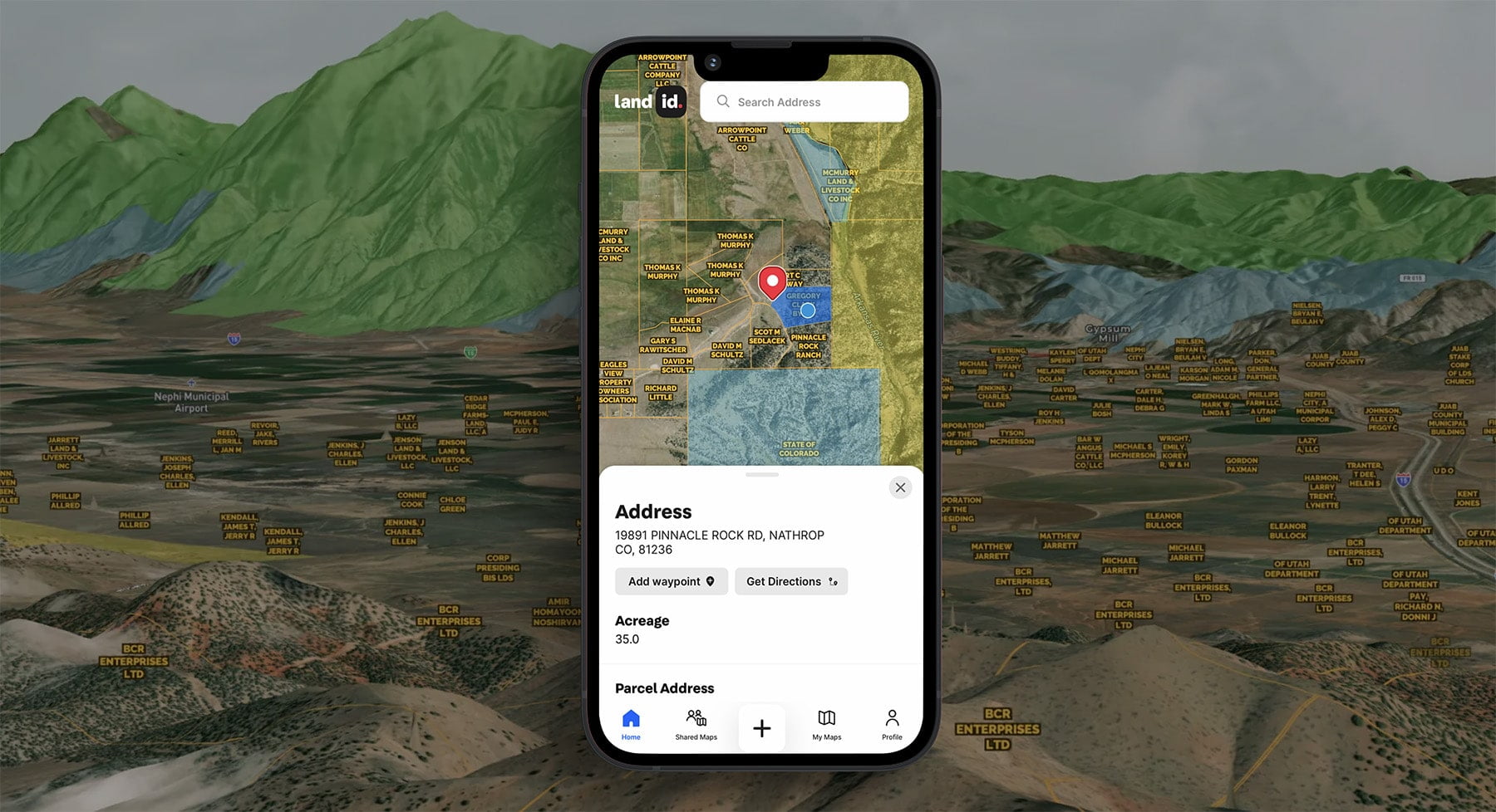

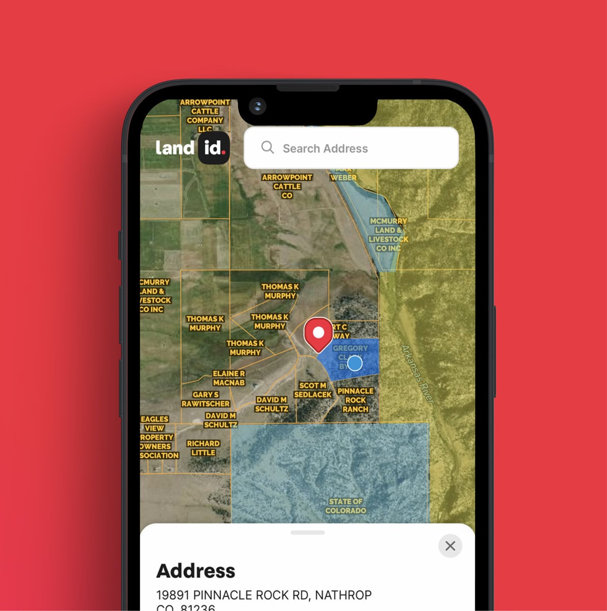
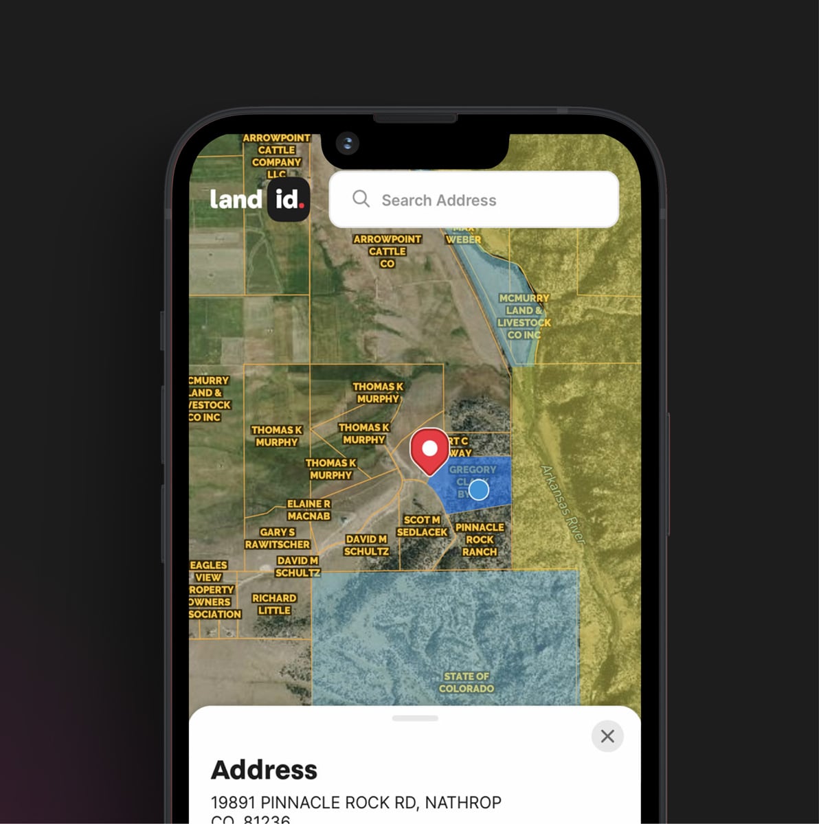
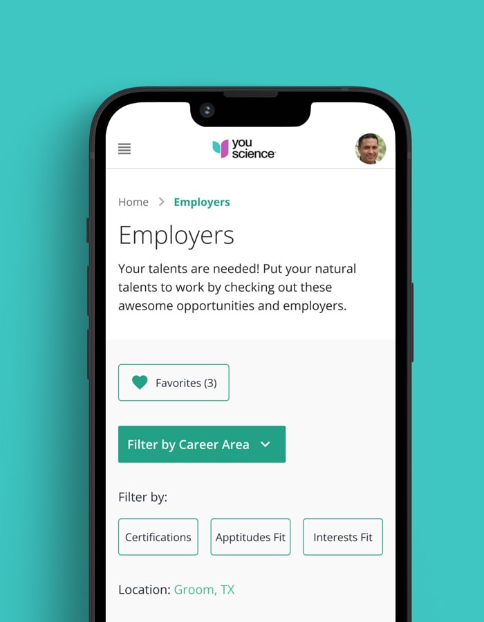
Land id (formerly known as MapRight) is a prominent provider of geographic information system (GIS) interface and land mapping services, serving various industries ranging from real estate to agriculture.
Qubika has been a technology partner to Land id since its inception, assisting them in the creation of their minimum viable product (MVP) and being a key partner in their journey towards market success.
Studios involved
Deliverables
Location drives the real estate industry, which makes mapping a critical element of successful transactions for real estate agents and land managers. As these professionals often lack sufficient knowledge of Geographic Information Systems (GIS), they have to rely on professional mapmakers in order to effectively showcase properties.
However, even professionally created maps do not deliver the desired value, as they are often generic and require a prior knowledge of the land. The mapping process itself can be quite complicated and cumbersome.
With these challenges in mind, Land id had a vision to create an intuitive and easy‑to‑use GIS interface through which non‑professionals could create professional‑quality maps. This had the potential to revolutionize property transactions for all stakeholders.
Qubika was involved in the realization of this vision from the initial planning stages right through to the application’s official release.
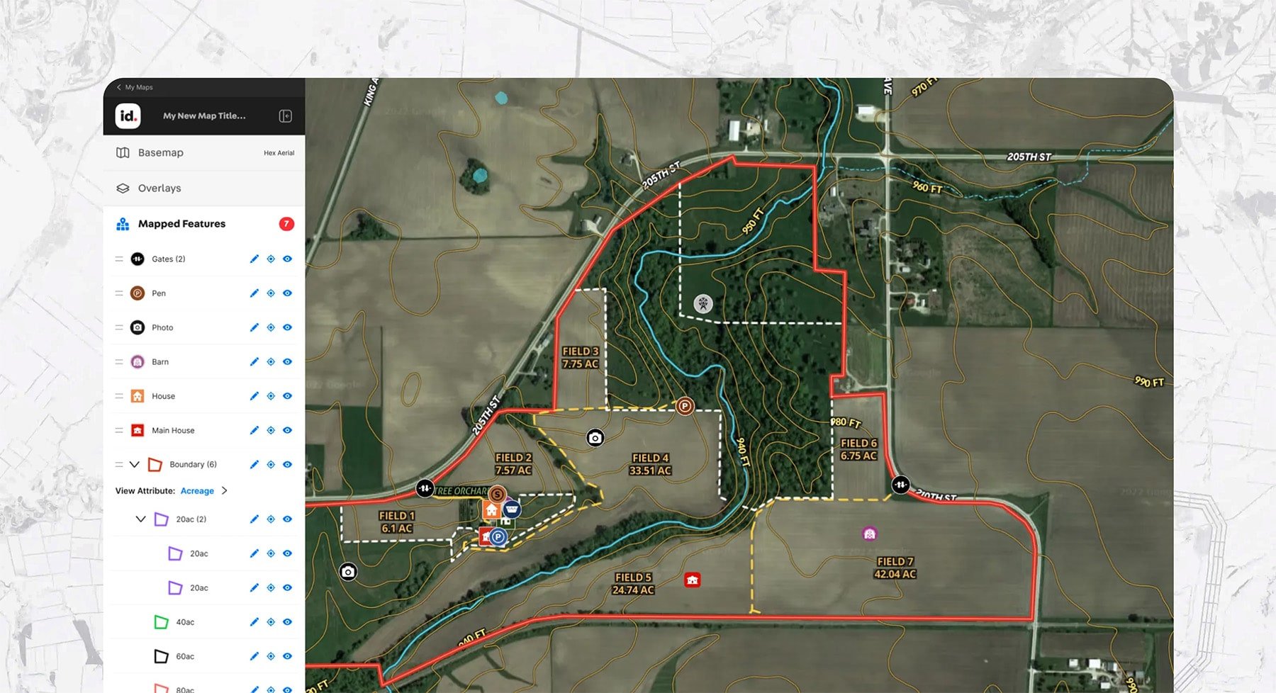
Our digital transformation services allowed us to take care of the development, project management and infrastructure requirements of the project, based on the needs and goals of the Land id team. We identified ease of use as the principal objective, and therefore prioritized an intuitive UX/UI design that struck the right balance between customization and a simple, yet feature‑rich product that delivered great value to users.
We found that with GIS, the greatest challenge to delivering a great user experience is the complexity associated with integrating data from multiple map providers, while adding several custom layers and high‑quality exports. This required an architectural design that allowed for flexibility and robustness. Not only did we achieve this, but over the years, our team has continued to redesign the system to speed up development and keep pace with increasing traffic and new front-end heavy features. We proactively propose new features that deliver a cutting‑edge performance for the end user. One such feature is the inclusion of drone imagery.
Mapping with mobile applications
To cater for an increasingly mobile‑driven world, Qubika’s App Solutions Studio redesigned the Land id mobile experience, which relied heavily on Mapbox – a location data platform for mobile and web applications. Although we had to work within the confines of that application, which was extremely limited when we started on the project, the Qubika team constantly developed innovative solutions. For instance, with rural real estate as one of the primary targets, being able to take an iPad out to a ranch with pre‑cached maps and the ability to work offline and synchronize later were key features end‑users needed.
Today, Land id has a multiplatform app, with a web application and two native applications: Android (Kotlin) and iOS (Swift) – and is available in both of the respective stores. They have over 100,000 active users.


Steve Roberson - Managing Partner, Land id
Case Study

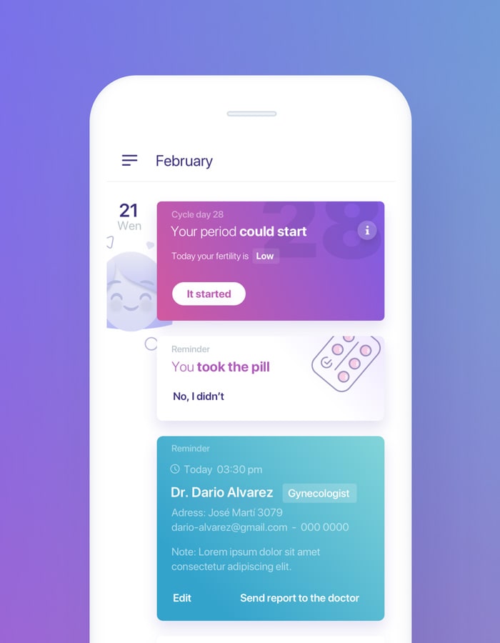
We created an integrated breast health monitoring system, featuring a mapping device, an app with advanced dynamic AI algorithms and blockchain.


Case Study

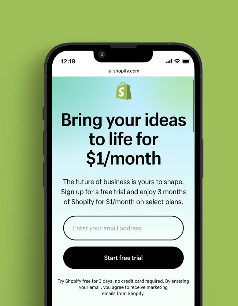
We worked together to create Shopify Ping, a mobile application for merchants to share links, offers, products descriptions, and more.


Case Study

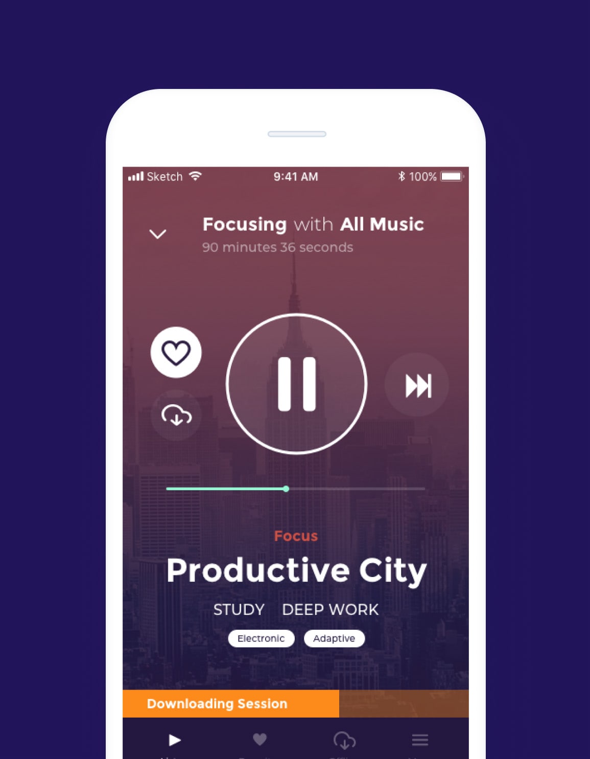
Qubika provided UX/UI, mobile, desktop and web development services to take Brain.fm's platform to the next level.


Case Study

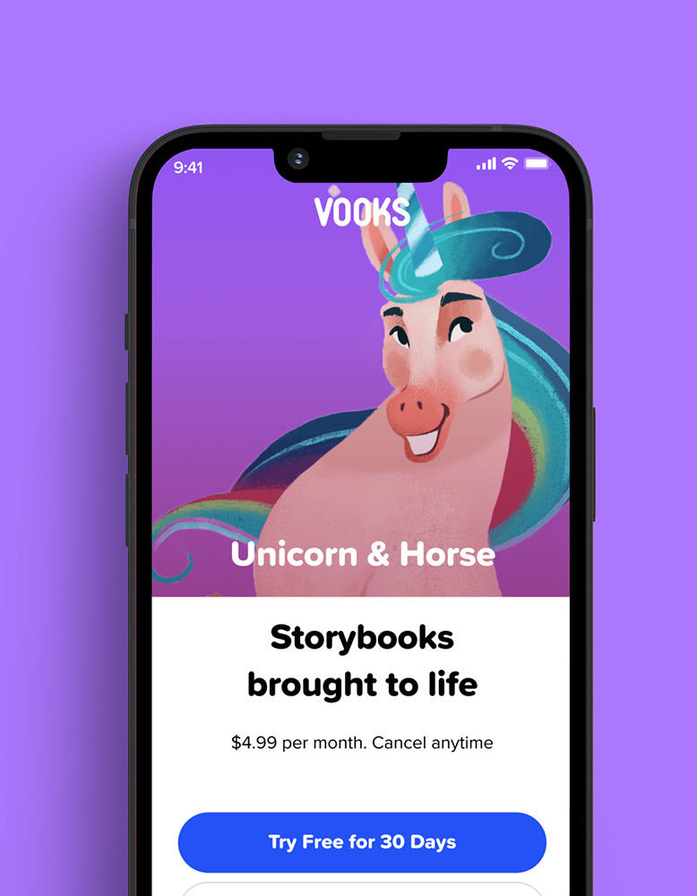
We worked side-by-side with Vooks to design and build a highly engaging, scalable streaming platform. The AWS environment was capable of accommodating hundreds of thousands of concurrent users.


Case Study
We highlight a range of case studies showing how we're using AI and computer vision technology to build innovative products that are transforming lives.


Case Study

Our work has ranged from the implementation of a new data warehouse, adoption of a new data visualization platform, to spearheading machine learning projects.

Case Study
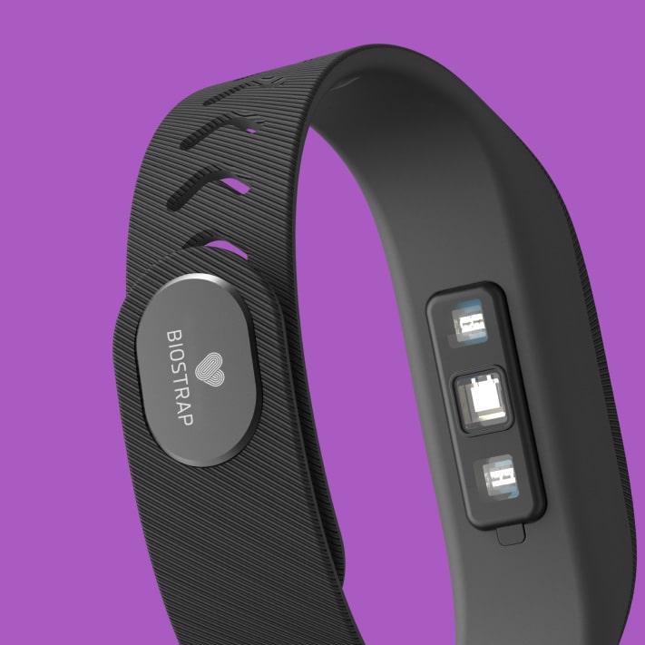
Explore a range of case studies highlighting how Qubika is pushing forward the wearable revolution, and providing specific development services to our clients.

Case Study

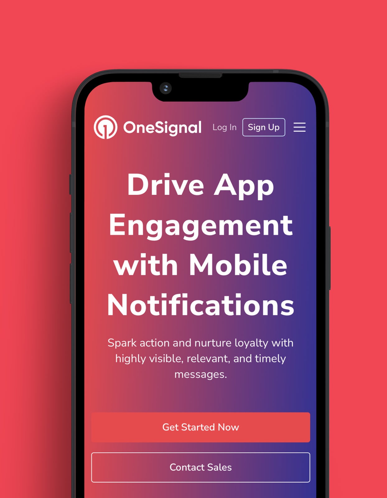
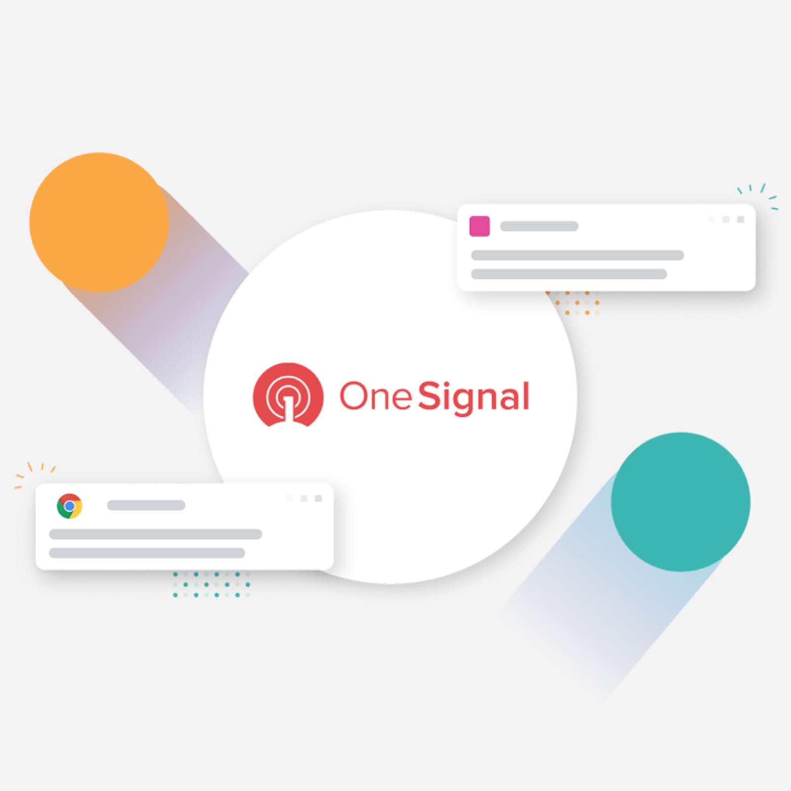
OneSignal's strategic alliance with Qubika led to product diversification, platform integration, and rapid growth.

Case Study

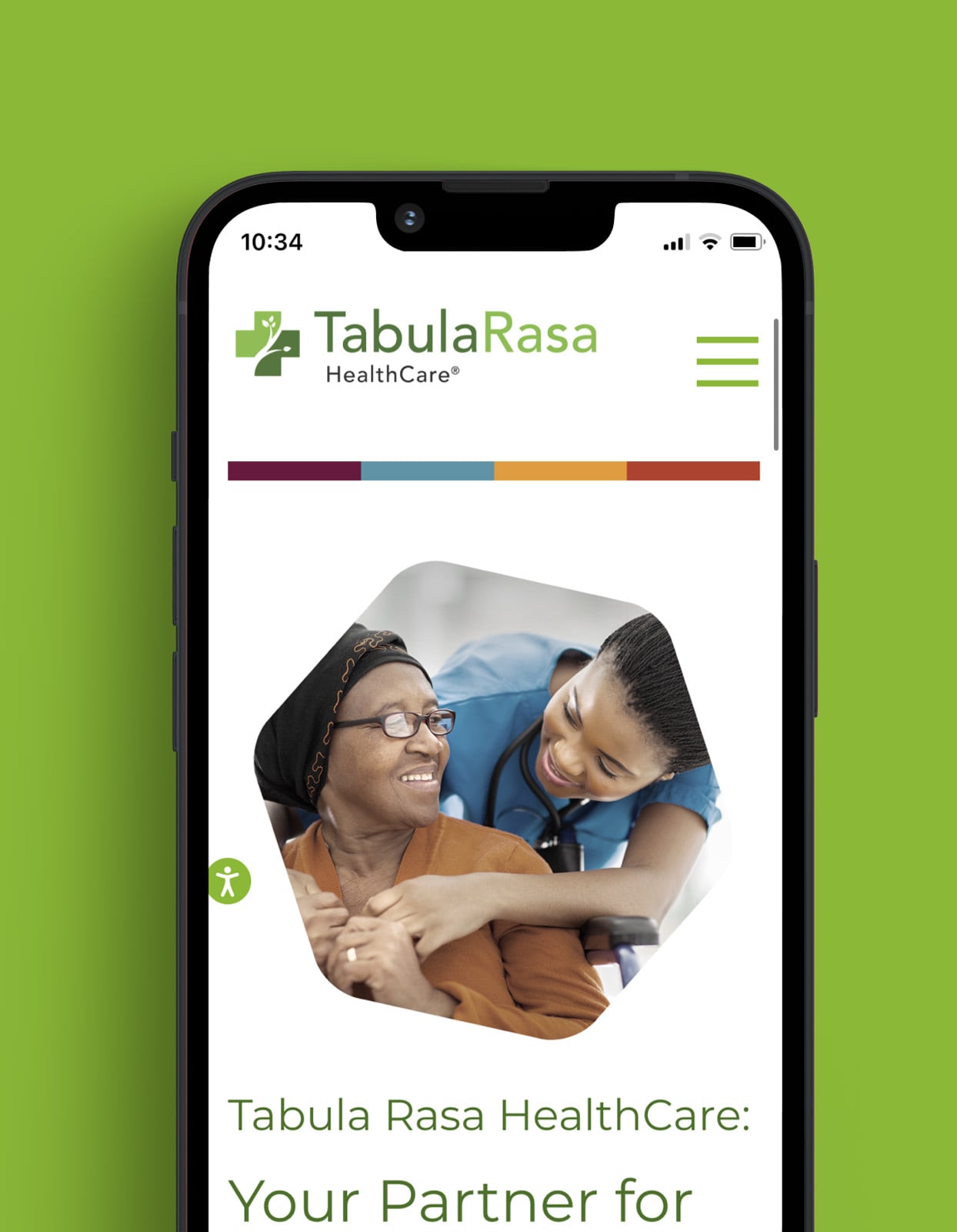
Explore how Tabula Rasa leveraged agile product management to revolutionize drug traceability, streamline processes, and achieve a rapid market launch.


Case Study

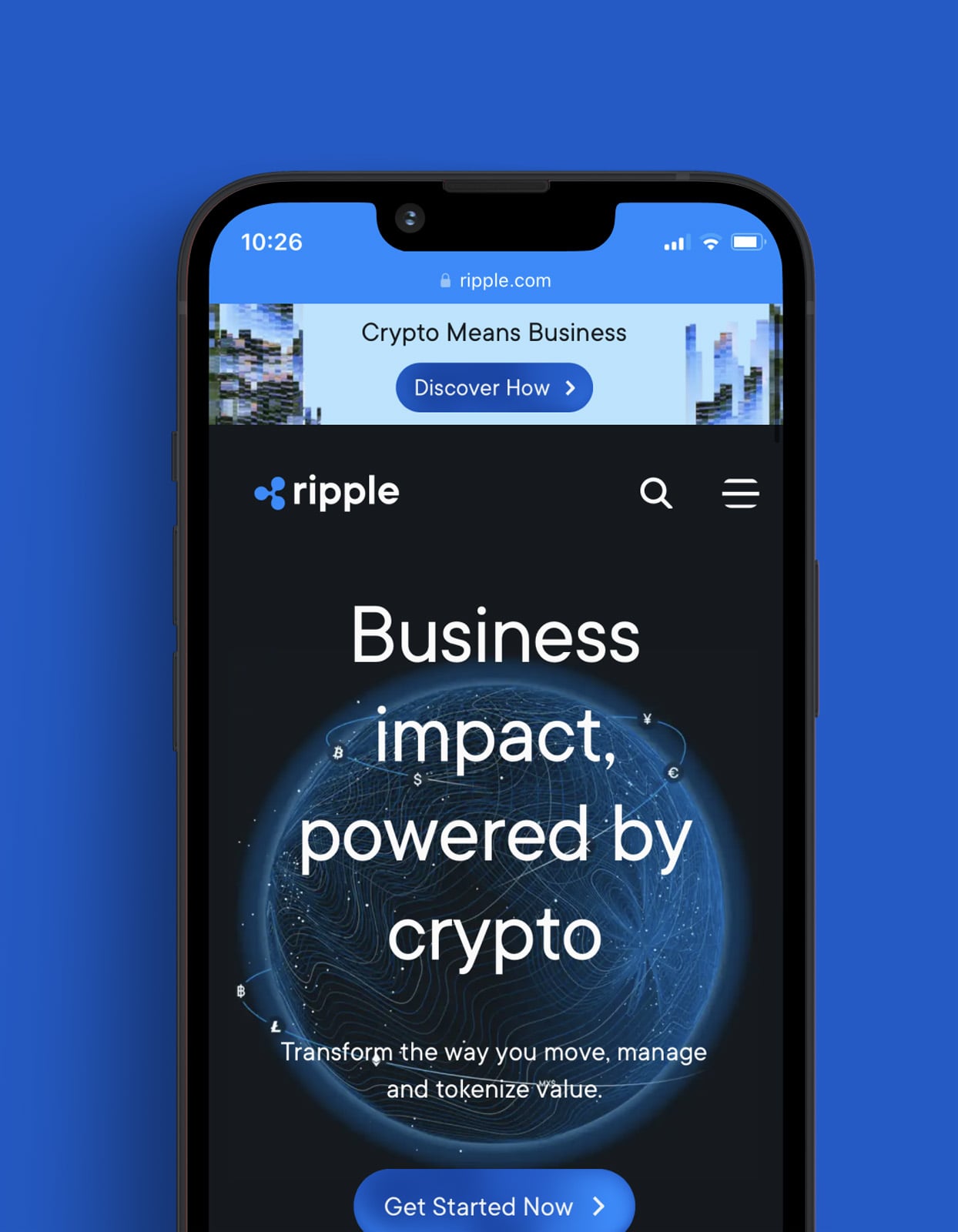
Ripple partnered with Qubika to integrate crypto exchanges, expanding their services and enhancing global reach.

Get in touch with our experts to review your idea or product, and discuss options for the best approach
Get in touch